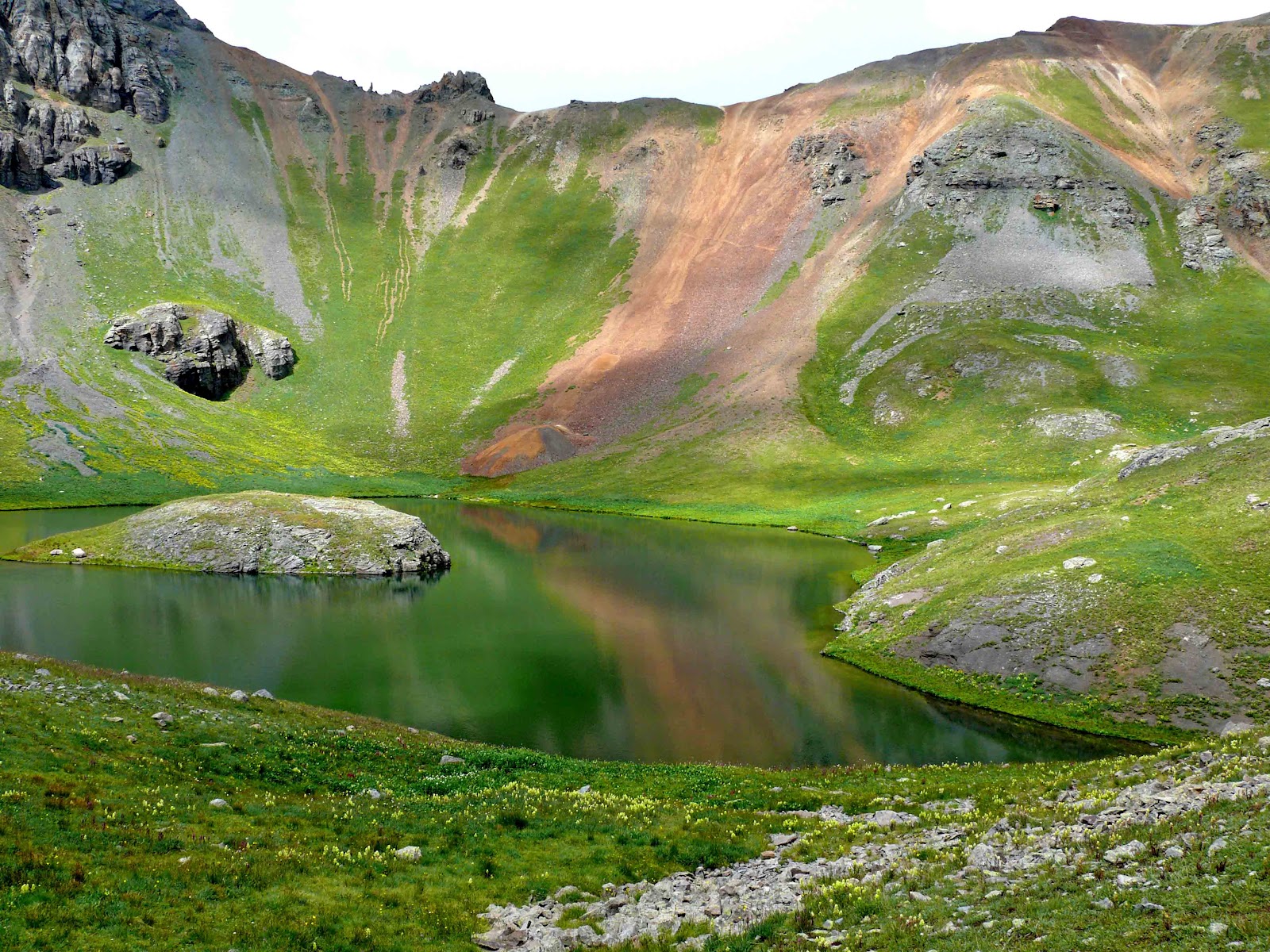
Black Canyon of the Gunnison is like a smaller Grand Canyon
without the crowds. Sheer walls of black
granite rise up 2250 feet from the Gunnison River, and similar to the Grand
Canyon, a very long drive separates the north and south rims. Unlike the Grand Canyon, you can literarily
walk up to the ranger station and obtain a permit on the same day as you wish
to hike down into the canyon. This is
exactly what my dad and I decided to do- hike 2000 feet down to the Gunnison
River within a miles distance- an extremely steep and precarious feat. Prior to being handed your free permits, the
rangers take out a large binder for you to review- a collection of pictures depicting
all the dangers and possible ways to die or be seriously hurt on the voyage to
the bottom of the canyon- from rockslides, drop-offs, mountain lions,
hypothermia, and dehydration to less severe but still annoying poison ivy,
stinging nettle, sunburn, scrapes, bruises and twisted ankles. They
seem to do their best at trying to talk you out of this foolish hike, but I
think that is just to scare off the weak and timid. Dad and I started our trek around 8 am, the
trail starting with a slight grade and then quickly changing into a steep and treacherous
scramble. At times the "hike"
down is so steep you must use a 100+ foot chain to lower your body down the
canyon walls, virtually repelling. We would
hear rock slides above us and wonder what sort of creature was capable of loosening
the large rocks. Every step had to be
calculated, with all possible dangerous outcomes considered, and decisions
would have to made, as should I veer to the left and risk a misstep and one
hundred foot tumble, or should I stray towards the slightly less steep right,
while trying to avoid that large dangling stinging nettle branch (a plant that
is covered in hollow stinging hairs which act like hypodermic needles,
injecting stinging histamine into your skin if touched). I quickly noticed my sweat was not just a
result of the physical exertion, but from a constant nervousness and fear,
similar to what I've experienced while rock climbing on steep portions of those
man-made rock climbing walls. It was not
what I'd consider a relaxing walk in the woods.
But, we did make it to the bottom, rinsed our dusty feet in the cold
rushing river, had lunch, rehydrated, and started our trek back out. Climbing out was much easier for me. It was steep and exhausting, but at least I
felt fairly certain my body was only going to follow as far as my next foot
placement. About five hours later,
dirty, bruised, and stinking, we checked back into the ranger station to let
them know we had made it out. We gazed
out from the visitor center, down into the canyon, looking at the only view the
majority of visitors would see- from the top.
That day, we were warriors.
 |
| Blue Mesa Reservoir, near Gunnison |
 |
| Summer Storm |
 |
| Black Canyon of the Gunnison National Park |
 |
| Looking Down |
 |
| Yes, we hiked down there! |
 |
| The Painted Wall |
 |
| At the Top |
 |
| On the way down, holding onto the chain for dear life |
 |
| At the bottom! |


